The kind of rain that can ruin your weekend camping trip is on the way for parts of fire ravaged Saskatchewan which are desperate for moisture.
“That’s quite a change from what we’ve seen for most of the summer,” Terri Lang, Environment Canada meteorologist said.
A slow-moving low pressure system anchoring itself over Alberta will move into Saskatchewan early Friday morning.
Environment Canada issued a special weather statement Thursday morning for the approaching rain.
“Fifty millimetres is not out of the ordinary, but this year, just because how dry it’s been, this is out of the ordinary,” Lang said.
Between 25 to 40 millimetres is expected, but some pockets could get up to 60 millimetres – or just over two inches.
A pocket north of Meadow Lake, south of Buffalo Narrows and east to Prince Albert National Park will see the largest totals, while La Ronge can expect about half that amount.
“It’s going to start out as showers and thundershowers and than spread out into a general area of rain,” Lang said.
The rain will begin overnight over western areas then spread eastward on Friday before clearing up by Saturday.
Those fighting the fires are watching the weather closely.
The north has seen sprinkles of moisture, but not nearly enough to slow down the fires this summer.
“Major turning point from where we have been if we get this weather that comes through. It’s certainly going to help,” Daryl Jessop with wildfire management said.
bbosker@rawlco.com
Follow on Twitter @brentbosker

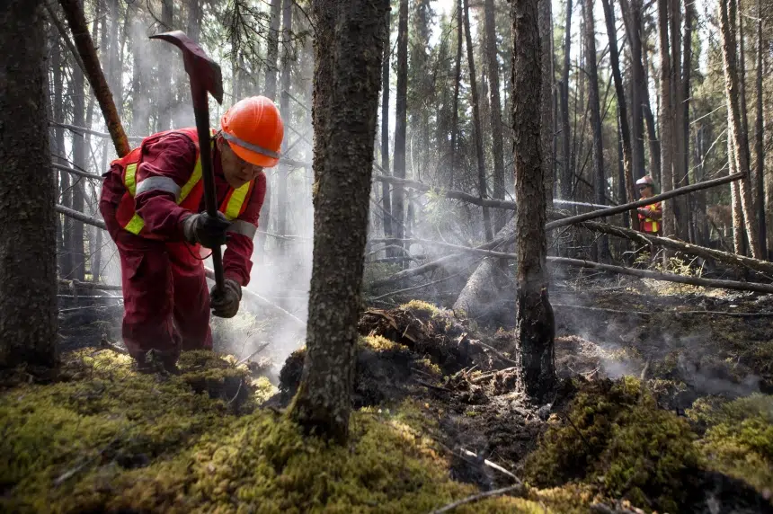
Firefighting crews seen working near Weyakwin, Sask. during the 2015 wildfire season, which saw 13,000 people forced to evacuate from communities in Northern Saskatchewan. (Government of Saskatchewan)
Soggy change in weather headed to northern fires
By CJME News
Jul 16, 2015 | 12:40 PM
Discover more on CJME.com
More
Listen Live
On Air Now
12:30 PM - 2:00 PM
Catch up on the day's news during your midday check-in with Justin Blackwell.
NOW TRENDING
OPINION


As much of Saskatchewan deals with another spring snowstorm, Murray Wood says we're all asking the same question: This i...

Sarah Mills: A U.S. jury says Live Nation and Ticketmaster's monopoly hurt fans
An appeal is already underway, but Sarah Mills says the court case against Live Nation and Ticketmaster has exposed what...
LATEST WEATHER
TODAY ON EVAN BRAY


The Evan Bray Show - Thursday, April 16
8:30 - There are no shortages of stories coming from Parliament Hill this week. Following the Liberal majority, the gas ...


