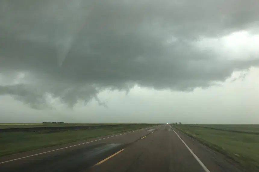
Environment Canada issued tornado warnings along with severe thunderstorm warnings and watches as a powerful storm system moved through southern Saskatchewan Friday evening.
“With the amount of energy that was present last night (Friday) the thunderstorms grew quite rapidly and quite quickly,” Environment Canada meteorologist Justin Shaer said.
Tornado warnings first began in the Assiniboia and Gravelbourg areas around 6:30 p.m.
The warnings explained the storm system was developing strong rotations and was capable of damaging winds, large hail and intense rainfall.
During the peak of the storm, Shaer said the Assiniboia weather station recorded a wind gust at 122 kilometres an hour.
Posts on Twitter overnight showed the storm’s impact on the Weyburn area.
Just got home in Weyburn and part of West side on Highway 13 is a bit flooded #skstorm 11:53pm pic.twitter.com/N9V40IrLHb
— Tia Griep (@wxamorilla7) July 4, 2020
While Shaer did not have rainfall totals for Weyburn on Saturday morning, but he said flooding wouldn’t be out of the realm of possibility.
“There were some severe thunderstorms that did go through the Weyburn area around 11 p.m. to maybe midnight,” he explained. “The Weyburn weather station did record a wind gust of 109km/h.”
Another storm system developing in Montana could mean another unstable evening.
“There is the potential for severe thunderstorms again over southern Saskatchewan toward Carlyle and Estevan again,” Shaer said. “The southwest isn’t necessarily out of it as well…it’s still quite a lot of energy.”
This type of weather is arriving right on time for the prairies, according to Shaer.
“Storm season typically matches up with crop season. So when you see the crops growing they’re usually providing quite a bit of moisture into the atmosphere which then feeds the energy for thunderstorms,” he said.


