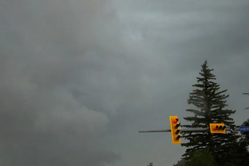
Environment Canada meteorologists had a busy Thursday, regularly churning out tornado warnings for areas of Saskatchewan over a four-hour span.
Now, the weather service will have to determine exactly what happened.
“We’ve had unconfirmed reports of tornadoes,” Environment Canada meteorologist Kyle Fougere said shortly after 9 p.m.
“We haven’t received any reports of damage so far and that’s why we’re really going to have to sort through them and see what the observers were seeing and see if we can get some pictures to verify whether or not there were tornadoes that did occur.”
The first warning was issued just after 4 p.m., for the Gull Lake-Leader area. The last one was lifted just after 8:30 p.m., for regions north of Regina.
Fougere said the storms originated Thursday morning in Alberta and continued to develop through the day, resulting in tornado warnings and severe thunderstorm warnings and watches.
As well, Lloydminster was under a rainfall warning throughout the evening.
“We’ve had a lot of severe weather reports,” Fougere said. “We’ve had golf ball(-sized) hail near Bethune (and) Regina Beach. We’ve had a couple of tornado reports. There was one near Morse (and) another near Central Butte.
“It’s going to take a lot of time for us to go through and to verify these reports. Right now, they remain unconfirmed.”
As of 9:30 p.m., severe thunderstorm warnings and watches remained in effect in parts of southern Saskatchewan, from the Regina area east to the Manitoba border.
“There’s still a lot of ongoing severe thunderstorms and those are going to continue to develop over the next couple of hours,” Fougere said. “There’s the potential still that tornado warnings could go out …
“The threat’s not quite over yet for parts of Saskatchewan.”
More information is available on the Environment Canada alerts page.


