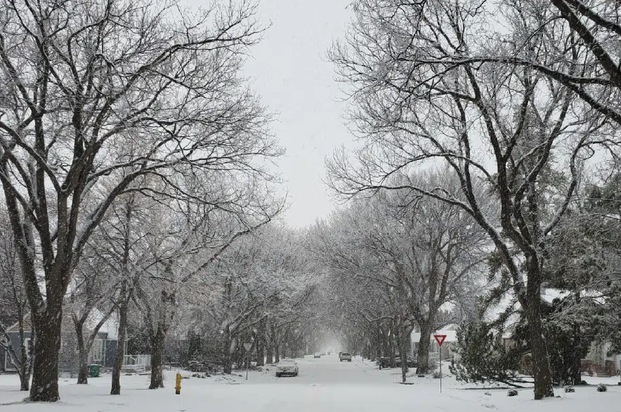
The southern and eastern regions of Saskatchewan should prepare for the first snowfall of the season this weekend, according to Environment Canada.
Environment Canada issued a special weather statement Friday, saying precipitation in southern Saskatchewan will likely begin as rain Saturday morning before gradually changing into wet snow over the weekend.
“The switch from rain to snow will be gradual,” the statement read, “and will begin in southwest Saskatchewan Saturday night.”
The statement covered the entire southeastern corner of the province, stretching as far north as Hudson Bay and west to the Alberta border. The statement included the areas around Regina, Assiniboia, Carlyle, Estevan, Weyburn, Fort Qu’Appelle, Hudson Bay, Humboldt, Kamsack, Moose Jaw, Moosomin, Shaunavon, Swift Current and Yorkton.
While snow is expected, Environment Canada said it’s hard to say how much will remain on the ground due to melting and compaction.
“In general, expect 2-10 cm of snow to fall by the end of the day on Sunday, with higher amounts through south central Saskatchewan and the Cypress Hills,” the statement read.
“Strong, gusty winds will also form in the wake of this system as it moves east into Manitoba on Sunday.”
Highway visibility will be reduced, the weather service warned, and wet snow combined with high winds has the potential to damage utility infrastructure.
Environment Canada Meteorologist Terri Lang said the weather system coming north from the U.S. is going to “clip” Saskatchewan, and it will likely be a shock for many people.
“We’ve been having a warm, dry pattern for the last couple of months. That’s finally breaking down,” she said.
Lang said she doesn’t expect the snow to stick around for long, because the ground is still too warm.
“It will be out of the province by Monday at noon, so it will be a rather short-lived system,” Lang explained.
Some residents, she said, may consider putting on their winter tires.
The latest weather alerts from Environment Canada can be found online.


