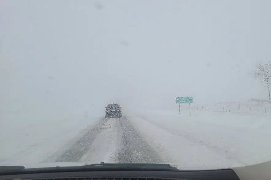
Environment and Climate Change Canada (ECCC) issued special weather statements Thursday morning for Regina and southern Saskatchewan.
Brad Vrolijk, a lead forecaster with ECCC, said the statements were issued to draw attention to a system that will be developing in the United States later Thursday night into Friday.
“It’s going to spread snow across Montana and North Dakota and likely into southern Saskatchewan as well,” Vrolijk said. “This system could be quite potent and potentially deliver as much as 10 to 20 centimetres of snow into the region, but there is quite a bit of uncertainty of what its track is going to be.”
The lead forecaster said there’s an arctic high over the northern prairies that has been pushing very cool, dry air southwards over the past several days.
“We’ve seen the snow actually mainly get shunted south of the border because the dry air just eats away at it,” he said. “There is a chance that it will end up tracking further south … and if it does, that would mean quite a bit less snow for southern Saskatchewan.”
Vrolijk added there’s also a chance that southern Saskatchewan won’t get any snow at all.
“We want people to just stay alert with the forecast coming up,” he said. “If it does continue to look like significant snowfall will happen, we’ll issue … alerts as needed.”
ECCC originally said it expects the snow to begin in southwestern Saskatchewan on Friday evening, move across southern Saskatchewan into southwestern Manitoba on Friday night, and then push across southern Manitoba on Saturday.
In addition, moderate southeasterly winds are expected to develop ahead of this disturbance, which ECCC said could lead to bands of organized snowfall and produce areas of blowing snow on Friday evening across southern Saskatchewan.
According to Vrolijk, it’s unlikely for Saskatoon to be significantly impacted by this system.
“We would expect it only to push further south,” he said.


