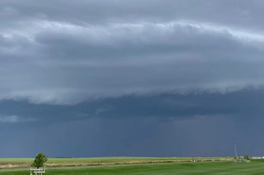
Severe weather could be rolling its way into Saskatchewan on Monday afternoon.
Models posted by Environment Canada suggest that areas from Saskatoon all the way south to Regina and the southeastern part of the province could be in the crosshairs for some pretty severe storms.
At 11:40 a.m., Environment Canada issued severe thunderstorm watches for the southeastern quarter of the province. Just before 2:30 p.m. a severe thunderstorm warning was added for the RM of Moose Range, including Carrot River and Tobin Lake.
The RM of Hudson Bay, including Shoal Lake and Red Earth, was added to the warning area shortly after, along with Davidson and several surrounding rural municipalities.
Watches mean conditions are right for severe weather to develop, while warnings mean the severe weather is imminent or already occurring.
Severe thunderstorms possible today for portions of the Canadian Prairies. Capable of strong winds, large hail and perhaps tornadoes. #skstorm #abstorm pic.twitter.com/KAufm8IJng
— Braydon Morisseau (@BraydonMoreSo) July 31, 2023
“As the day progresses, we’re expecting to see some thunderstorms form. The worst should be in Regina and the southeastern parts of the province,” said Environment Canada meteorologist Natalie Hasell.
“The worst weather we can see out of this is very large hail — golfball (sized) or slightly larger — and then some straight-line winds of 110-kilometre-per-hour gusts and easily 50 millimetres of rain coming out of these storms.
“It would not surprise me either since we’re expecting multi-cell lines and supercell storms to form, there could be a risk of tornado in this area as well,” Hasell added. “It’s kind of borderline, but it wouldn’t surprise me if we saw something that could have rotation in it.”
She suggests the biggest storms could hit between 3 p.m. and 4 p.m.
Saskatoon and the central part of the province could see some thunderstorms and high winds, but nothing compared to what the southeastern part of the province will see.
“(In Saskatoon) we’re expecting two to four centimetres of hail – toonie-sized — and strong gusts as well, but only to 90 kilometres per hour. The rest of the area should see thunderstorms just on the edge of severe as winds are not quite (at the) criteria,” Hasell said. “It’s going to be a busy day across Saskatchewan and across the prairies.”
So far in 2023, Saskatchewan has been lucky to avoid a lot of severe weather. While storms have still developed, tornadoes have been rare, according to Hasell.
“We’re much below the typical average (for tornadoes),” she said. “The full summer average for confirmed tornadoes is 13. So far, we’ve had one. In terms of tornadoes being identified by a reliable report, there’s been very little this season, which I think is good news.”
The latest information on the weather alerts can be found on Environment Canada’s website.


