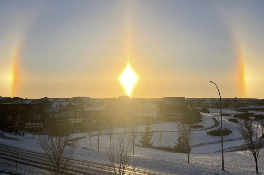
The extreme cold warnings in central and southeast Saskatchewan should not stick around for long.
“Luckily, this shouldn’t be too long lived,” said Kayla Bilous, a meteorologist with Environment and Climate Change Canada. “It should end this afternoon. It won’t necessarily be much warmer, but the extreme wind chills should be done by this afternoon.”
Environment Canada forecasted temperatures with wind chills dipping to -40 C and -45 C. Many areas called for risk of frostbite or frostbite in minutes.
According to Bilous, the day long break from the extreme cold was followed by an additional high pressure system.
“We had that polar vortex earlier this week with those really cold temperatures in the prairies,” said Bilous. “Then that moved out to the east, so we had a quick reprieve with that with some warm air behind that.
“But now we have a ridge of high pressure from Alaska that’s pushing this cold air back into the prairies.”
Bilous said some winds were expected to pick up Thursday afternoon gusting to 50 kilometres an hour keeping temperatures cool.
By Saturday, Bilous said we will start to see a different flow of warm air roll through. The warm air will come from the Pacific will help heat things back up to above normal temperatures.
“That’s going to be a nice break from these wind chills we have been experiencing,” said Bilous.


