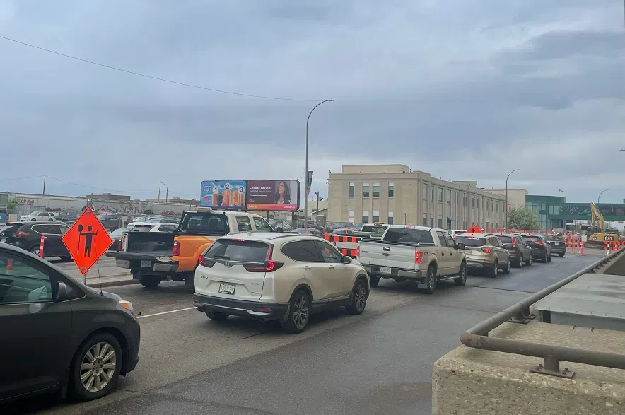
The City of Regina is working to make life easier for drivers, who will have to navigate several major construction projects this summer.
The city has partnered with navigation app Waze, with important road closures and restrictions integrated into its maps, which then populate closures onto Google Maps. Drivers can access the information through either apps, and routes will be suggested to help people avoid closures.
Construction in the Queen City has caused plenty of headaches this year, with some drivers waiting upwards of an hour to get out of a downtown parkade.
The city’s online road report map is also getting some improvements, including a built-in search bar allowing motorists to see which roads are closed, and new icons to help distinguish between closures, lane restrictions and other construction.
“These improvements to the Road Report will help drivers get where they are going as we improve roadways and infrastructure in our community,” the city noted in a statement.
“Construction projects are progressing throughout the city, including work on multi-year roadway and water projects.”
The city also provided updates on the three major projects underway this summer.
Crews working on the Dewdney Avenue Corridor revitalization are currently installing protective casing pipe and underground water pipes between Albert and Broad streets.
The Ring Road on-ramp at Argyle remains closed as workers continue the Water Network Expansion Project, and speed is restricted to 60 kilometres per hour in the southbound lanes of Ring Road between Argyle and Broad. Speed is also restricted on Ring Road from McDonald Street to Ross Avenue.
The second year of construction is underway on the project to revitalize 11th Avenue. The avenue remains closed between Hamilton and Lorne Street to accommodate the work, which is being led by SaskTel and SaskPower.


