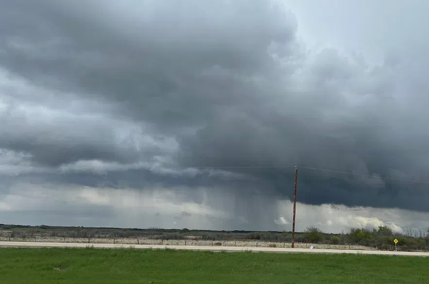
No tornadoes were reported to touch down during a stormy Canada Day in Saskatchewan.
Environment Canada issued warnings and watches for severe thunderstorms in several areas on Monday evening, including a tornado warning east of Yorkton and funnel cloud advisories in the southwestern corner of the province.
Environment Canada meteorologist Dan Fulton said landspout funnel clouds were spotted in Melville, Saltcoats, and Lloydminster on Monday evening, but they did not appear to touch down.
“Cold core or landspout-type funnels typically don’t touch down, and if they do it’s usually just very briefly,” said Fulton. “These are more of an interesting phenomena.”
READ MORE:
- Northern Tornadoes Project says six tornadoes formed during June 12 storms
- Environment Canada investigates possible tornado near Saltcoats
- Davidson area farmer expects crops to recover after severe storm
While there have been no reports of tornadoes touching down during the storms on Canada Day, Fulton said it’s possible that it did happen.
“We were looking over the pictures we saw, and none of them appear to have touched down,” he said. “But you never know. There may have been a brief touchdown there.”
While the landspout funnel clouds look like tornadoes, Fulton said they are usually higher in the sky.
“The ones we saw were at quite an angle from the cloud, so not coming straight down, almost a diagonal there,” he said.
Due to the cool, rainy weather across much of the province on Monday, Fulton said there was not enough energy in the atmosphere to create significant tornadoes.
“They’re not super threatening,” he noted. “They look pretty cool, but they’re not the same as when you get super hot weather and then you have really severe thunderstorms that could produce the huge hail and things like that.”
Fulton said the system that produced those funnel clouds on Monday evening has already moved out of the province and is now moving over central Manitoba.


