After a stretch of hot weather in the Regina area, it’s about to get cool and wet.
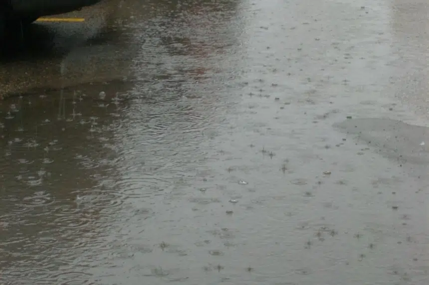
Environment Canada said 20 to 30 millimetres of rain is on the way to Regina, starting sometime Tuesday and lasting as long as overnight Wednesday.
Weather specialist John Paul Cragg said the weather is due to a low pressure system developing in Montana that will be moving into southeastern Saskatchewan.
“With this area of low pressure, we’re going to be seeing a large area of general rainfall across southern and east-central Saskatchewan with a few thunderstorms embedded with the risk being higher now in southeast and central Saskatchewan,” he explained.
Cragg called for “low intensity rainfall” and “long, soaking rains” for a two-day period. While Regina could see up to an inch of rain, it could be more for southeast Saskatchewan, like Carlyle and Estevan, due to thunderstorms.
“(There’s) a lot of rain on the way for southeast Saskatchewan and the potential for some severe thunderstorms, bringing probably more rain than people want in that southeast corner.”
Wet weekend weather?
Cragg said Regina could also see more rain over the weekend, as there’s the risk of another low pressure system moving through the province.
“Right now it’s just a risk.”
Cragg said there is the potential for rain on Saturday with cooler temperatures on Saturday and Sunday.
“The sun might come out again on Sunday, but we’re looking at highs around 19 C so not warm conditions on the way for the weekend,” he said.
“It’s not going to be until next week where temperatures have the chance of popping back up, getting into the mid-20s or even getting close to 30 C again.”
Cragg said there is no “strong indication” that things will warm up next week either, but that the chance was higher than this week.


