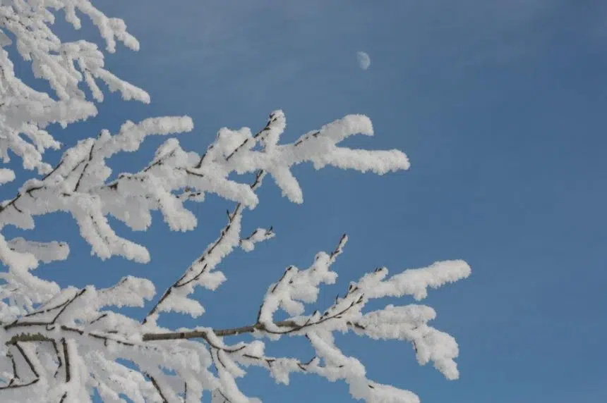
It might be a good week to stay cozy and warm inside because there is a blast of Arctic air coming into the Prairies just in time for Christmas.
“This December heat wave is coming to a crashing end,” commented David Phillips, chief climatologist for Environment Canada in an interview with 650 CKOM.
Starting on Sunday the daytime highs for the central and eastern part of the prairies will hover around -20 C. The overnight lows will be near or colder than -30. Our average high at this time of year is around -10 C.
“Minus 25 is what we’re calling for a high, I mean that would be the coldest Christmas day in 20 years in Saskatoon,” Phillips said. “It’s warmer up in Tuktoyaktuk on Christmas Day.”
For anyone who does need to leave the house, remember to plug in your vehicle and bundle up in some extra layers.
Phillips says this cold weather will continue through Christmas and last until New Year’s Eve.
Fortunately, the long-term forecast for winter may not be as cold as originally predicted, at least in southern Saskatchewan.
“In southern Saskatchewan, it’s more of a flip-flop. We’re not sure it’s going to be as brutal as we’re going to see at the end of this year,” he said.
Phillips called it yo-yo weather. He said we’re going to get a couple of weeks of cold weather and then get into a melting and thawing cycle.


