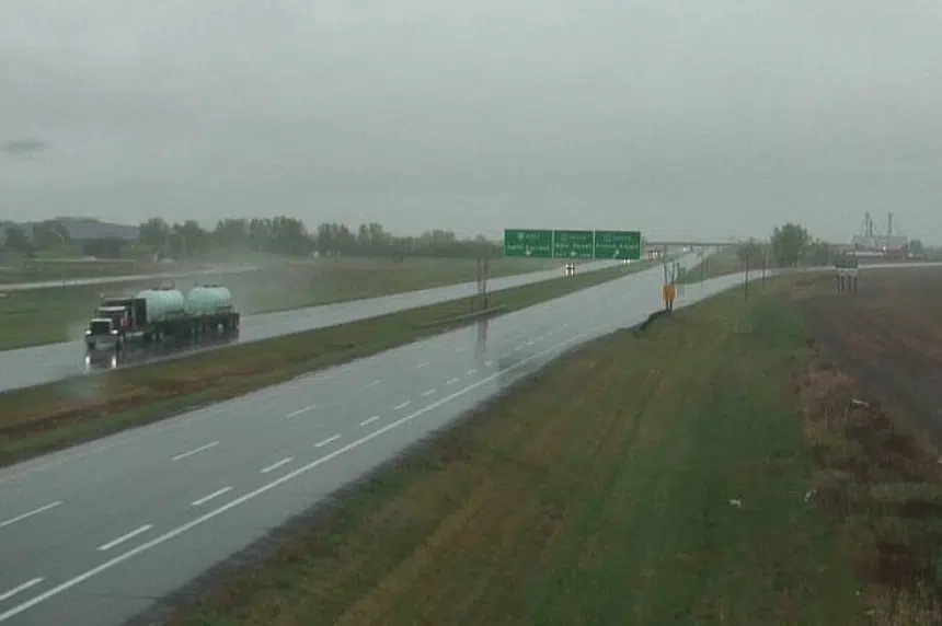
Southern Saskatchewan is in for a cool down, and possible flooding in areas, as much-needed rain pours in parts of the province.
Rainfall warnings were issued early Tuesday for the southwest stretching from Cypress Hills to Moose Jaw, including the Swift Current and Assiniboia areas.
The heaviest rainfall amounts are expected near the eastern Montana border, between Shaunavon and Coronach, according to Environment Canada.
Up to 50 millimetres – or two inches – of rain could fall on the parched land, with localized flooding possible in low-lying areas.
Environment Canada said a low-pressure system over Montana is bringing a prolonged period of rain Tuesday, overnight and into Wednesday.
Areas in Saskatchewan not impacted by the warnings could still see rainfall amounts of 25 to 50 millimetres through Wednesday.
In Saskatoon, periods of rain are expected Tuesday amounting to between five and 10 millimetres, with a high of 9 C; north winds might also create gusts between 40 to 60 km/hr. A 60 per cent chance of rain will persist for the city into Wednesday.
Similar conditions are slated for Regina, with a high of 13 C Tuesday.
Environment Canada expects the rain will taper off from west to east Wednesday afternoon as the low pressure system pulls off into Manitoba.
Air quality alerts remain in effect for parts of northwest Sask. where Alberta wildfire smoke continues to drift, causing reduced visibility and poor conditions.
The highest health risk is posed by smoke near the ground; further away from the fires, smoke is mainly aloft and causing only moderate air quality issues, Environment Canada said.
The agency said shifting wind direction throughout Tuesday is expected to push smoke south out of La Loche and Buffalo Narrows again.
To report severe weather, send an email to storm@ec.gc.ca or tweet reports to #SKStorm.


