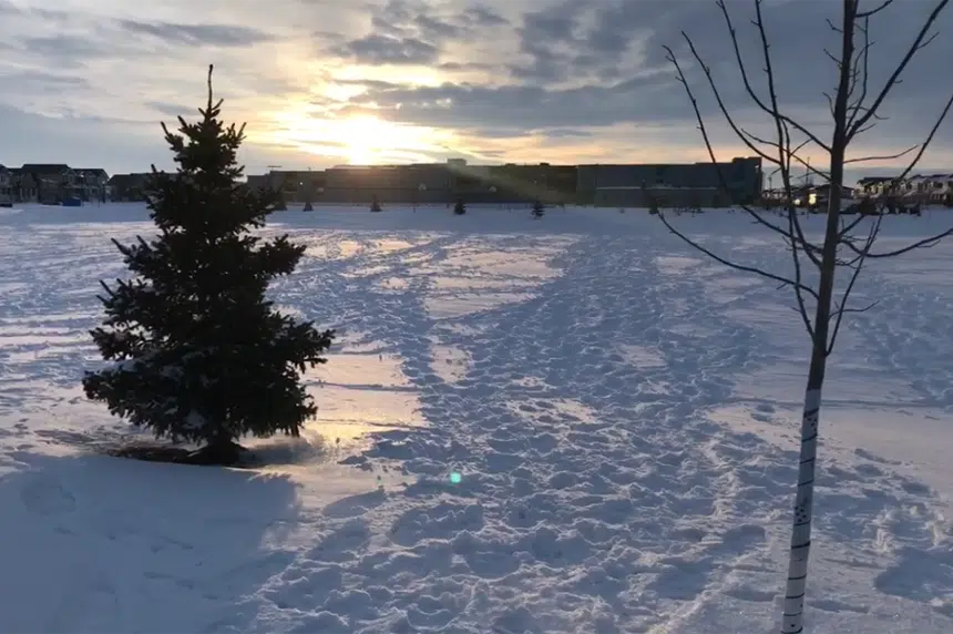
It’s looking like there is an end in sight for Saskatchewan’s lengthy cold snap.
“It actually is going to subside, believe it or not,” Environment Canada meteorologist Dan Fulton said.
People woke up Friday morning to another day of extreme cold weather warnings in parts of central and southern Saskatchewan, including Regina, Saskatoon and Prince Albert.
Fulton said the ridge of high pressure that has been bringing these extreme cold temperatures will be moving east as low pressure begins to creep into the province from the southwest.
The low-pressure system will bring along snow and cloud but it should bring some relatively warmer temperatures as well.
“This is probably the last day, for a while anyway, of the extreme cold conditions that we’ve been seeing in southern Saskatchewan.”
Fulton said the southwestern corner of the province will see about five centimetres – around two inches – of snow while Regina and Saskatoon should see between one and three centimetres.
He said the Family Day long weekend should see highs of around -15 C, which is still below normal for this time of the year.
“We do have the advantage that we’re halfway through February now and at some point it’s got to warm up, so we’re banking on time here.”
He said he expected extreme cold warnings issued Friday morning to get lifted over the course of the day.


