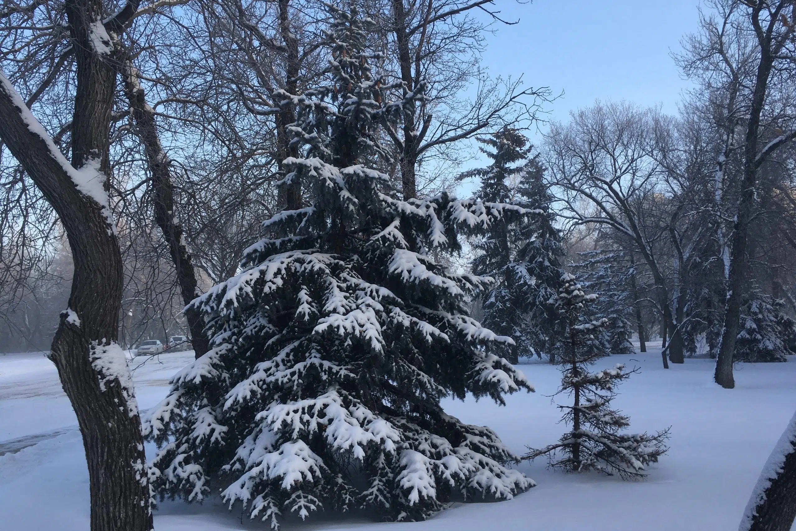
Environment Canada has issued extreme cold warnings in many across central and southern Saskatchewan Friday.
The warnings were handed down shortly before 3:30 p.m. Friday afternoon as wind chill values continued to plummet in many areas across the province.
Areas ranging from the southern tips of Saskatchewan and as far north as Prince Albert are part of the cold weather warnings as February’s cold stretches into March.
In Saskatoon, it was the coldest February since before the Second World War, with 25 of 28 days below -20 C and 13 days below -30 C.
“It’s hard to break records in Saskatoon, your records go back to the 1880’s, but this was clearly the coldest February since 1936.”
David Phillips, senior climatologist with Environment Canada, said after enjoying a brief warm-up Wednesday and Thursday, most of Saskatchewan can expect a return to significantly colder-than-normal temperatures over the weekend.
“You want it to warm up, but my sense is, this is what’s going to happen: you’re going to have to be more patient,” he said.
While it was a historically cold February, Phillips said the province got enough snow to at least start to make up for some of the dryness seen over this winter.
“We’ve seen, really, right across all of southern and central Saskatchewan, we’ve seen that February has brought precipitation that has been maybe double normal in some places, certainly from 25 to 50 per cent more than normal,” he said.
Phillips said it was hard to nail down a long-term outlook for precipitation, but said it was safe to assume the province would see more snowfall over the next month.
“Usually, 30 per cent of your annual snow comes after March 1. So you’re not finished shovelling, plowing and pushing it, but we know for farmers that’s white gold,” he said.
— With files from 650 CKOM’s Gerald Bauman


