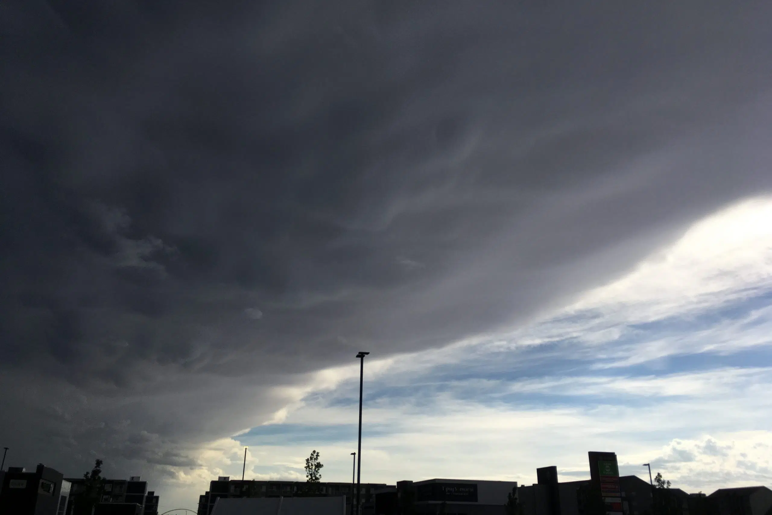
All the severe weather seems like a lot, even for peak storm season.
According to Environment Canada senior climatologist David Phillips, it’s due to Saskatchewan’s location. The province is the meeting point of hot air from Eastern Canada and cold arctic air from the prairies.
“Mixing it up is like a blender there. This is why we’re seeing a lot of severe weather. Alberta has had twice a year’s worth of tornadoes already. You’ve seen your share,” Phillips said during The Greg Morgan Morning Show on Tuesday.
Phillips described the storm Saturday in Eston that damaged houses and left parts of town without power as “plow winds.”
“Sometimes we call those prairie hurricanes. They can be fairly large. They’re downburst winds, very strong winds. They don’t have the status of a tornado but they can be just as damaging as we saw,” he said.
“An added component to it is the movement of the storm itself and that would add a bit more velocity to the winds.”
Storms like that one are also unpredictable, where clouds appear but there’s no telling which ones will start rotating.
“It’s almost as if you’re unlucky or it’s like a roulette wheel,” he said.
Phillips is expecting hot weather to come in the near future. He said June 3 was the last time there was a day with 30 C temperatures.
Usually, there are 16 of those days per year. This year, there have been only five so far.
“So I wouldn’t give up on it and our models seem to suggest that late July, August is going to have more of those,” he said.


