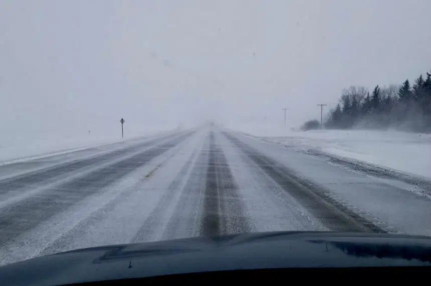
Regina is in the grips of The Blob.
Terri Lang, a meteorologist with Environment Canada, said Wednesday that the cold weather currently enveloping the Queen City is because the jet stream is south of Saskatchewan.
The reason why the jet stream is so low, Lang explained, is because of a ridge that is sitting off the coast of B.C.
“(The ridge) has been there for a long time,” Lang said. “It’s being fuelled by warmer temperatures off the coast of British Columbia — it’s known as ‘The Blob.’ There’s also warmer temperatures over the Arctic Ocean, so that is kind of keeping a big upper ridge off the coast.”
As a result of that, temperatures in Regina on Wednesday were well below average.
Lang said the 30-year average for the high in Regina is 2 C; the forecast high for Wednesday was -11 C.
“The jet stream is sitting to the south of Saskatchewan, which means that we’re in the cold air,” she said. “That means more of it is coming from the Arctic right now. It’s not unusual for this time of year. We’re losing daytime daylight during the days, so that helps deepen the colder air.”
Having said that, Lang noted that the cold temperatures likely won’t last long. A low-pressure system is approaching and is expected to arrive over Saskatchewan later this week.
“It’ll be slightly warmer (Thursday) than it is (Wednesday), maybe by a couple degrees,” Lang said. “But then Friday will feel almost tropical when the temperatures recover toward the freezing mark.”
Until then, Lang cautioned people to be prepared for some low temperatures.
“It is cold for this time of year, so people need to dress up for the conditions,” she said. “The wind chills are in the area where you can get frostbite within minutes, especially in the morning hours, so people should dress appropriately.”
— With files from 980 CJME’s Evan Radford


