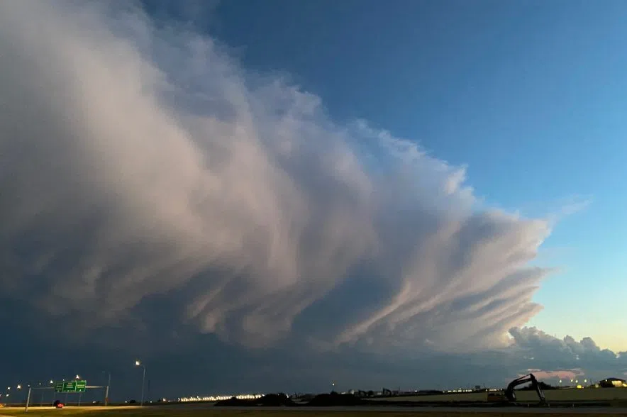
Right now, a weather system is making its way through southeastern parts of northern Saskatchewan and will likely expand over the next couple of days.
The storm is expected to bring snow across parts of northern and central Saskatchewan over the next day or two, and that snow is expected to continue over east-central sections of the province until Thursday.
Terri Lang, a meteorologist with Environment Canada, said east-central Saskatchewan will be hit the hardest.
“We are expecting some heavy snow to fall through there, possibly 30 centimetres or more in some of those regions there,” Lang said Monday. “Across southern Saskatchewan, we’ll see some rain develop probably through Tuesday, and then through Wednesday, we’re going to see that switch around and turn into wet snow.”
Residents in the south are also expected to see high winds throughout Wednesday, with gusts of up to 70 or 80 kilometres per hour. The weather system is a hybrid between a Colorado low and an Alberta clipper.
Lang said Regina and Saskatoon probably won’t see a lot of snow.
“If it does snow, it’s probably going to melt on contact so not too much across southern Saskatchewan just because of those temperatures being so close to freezing,” Lang said. “Especially through the event, the temperatures are forecast to remain near the freezing mark as well so probably not a lot in the way of accumulation.”
Lang said the extra moisture will be good for the province.
“We are expecting some rain before the snow falls and I think any kind of moisture will be welcomed across the province just because it is so dry,” she said. “The most accumulations will fall through the central part of the province and through to the north, which will be good for forest fire conditions going into the spring dip.”
The Saskatchewan Public Safety Agency already has said it’s expecting a wildfire season that’s average or above average in terms of numbers.
“It is of no surprise that much of Saskatchewan received below-average precipitation this past winter, and at this time the province is anticipating areas of drought, lower water tables, and higher temperatures for 2024,” SPSA president Marlo Pritchard said during a recent conference call. “This means that there are several areas of the province that are at higher risk of grass fires this spring before green up.”
So far, there have been 25 wildfires this year. The five-year average for this time of year is two.
A number of fire bans remain in place, including in an RM southeast of Saskatoon where a large grass fire burned last week.
The Water Security Agency has said in its spring runoff forecasts that some areas of the province can expect drought-like conditions, given the relative lack of snow over the winter.


